We are currently shifting the way GSWNY Property is being managed and how institutional knowledge is being stored for future GSWNY Property Associates. Having accepted the contract to be GSWNY's in-house Natural Resource and Land Development Specialists, CPH is consulting, developing, and implementing a 5year Restoration Plan for all GSWNY Land.
No longer will GSWNY's Land be managed from the, "mow the lawn and keep things off the grass" perspective. As a Restoration Ecologist, the Land's overall health and development is being taken into consideration using the Laws of Natural Sciences, Ecology, Succession, and Surface Geomorphology.
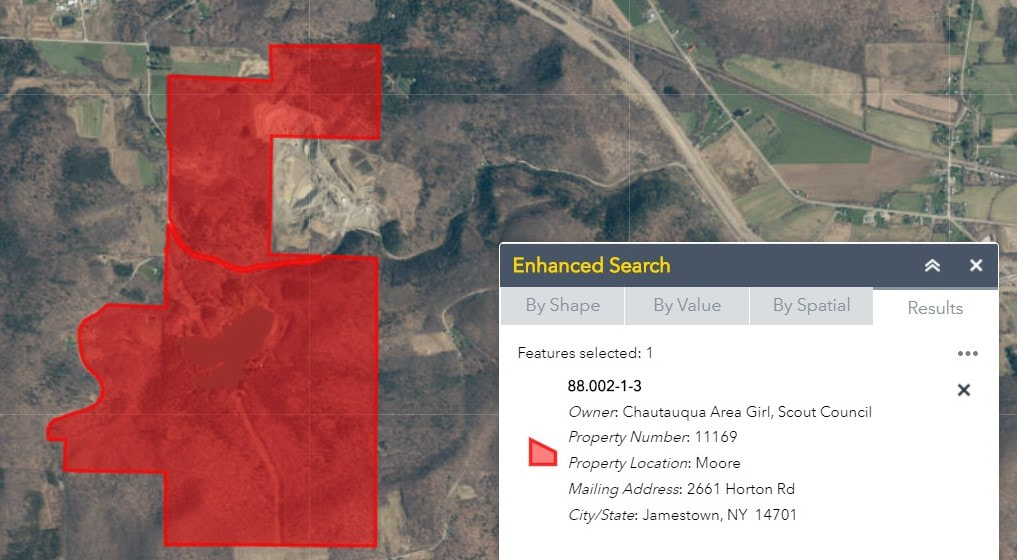
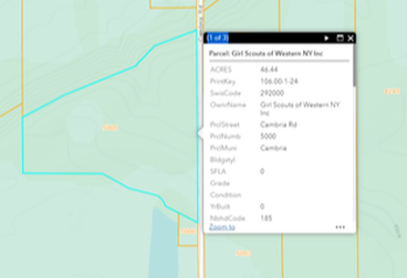
GSWNY currently owns 2100 acres of land split between 4 Camps and the Jamestown Office in 5 different counties across WNY. 2100 acres is nothing to sneeze at, as GSWNY holds stake in a relatively large amount of Natural Resources, most of this being Timber, Gravel, and Water rights.
Geographical Information Systems as Land Management and Facility Maintenance Tools
For the first time, GSWNY is looking to shift our Land Management Goals to include the compilation of a GIS Property Asset and Management Database, for more efficient mapping and tracking.
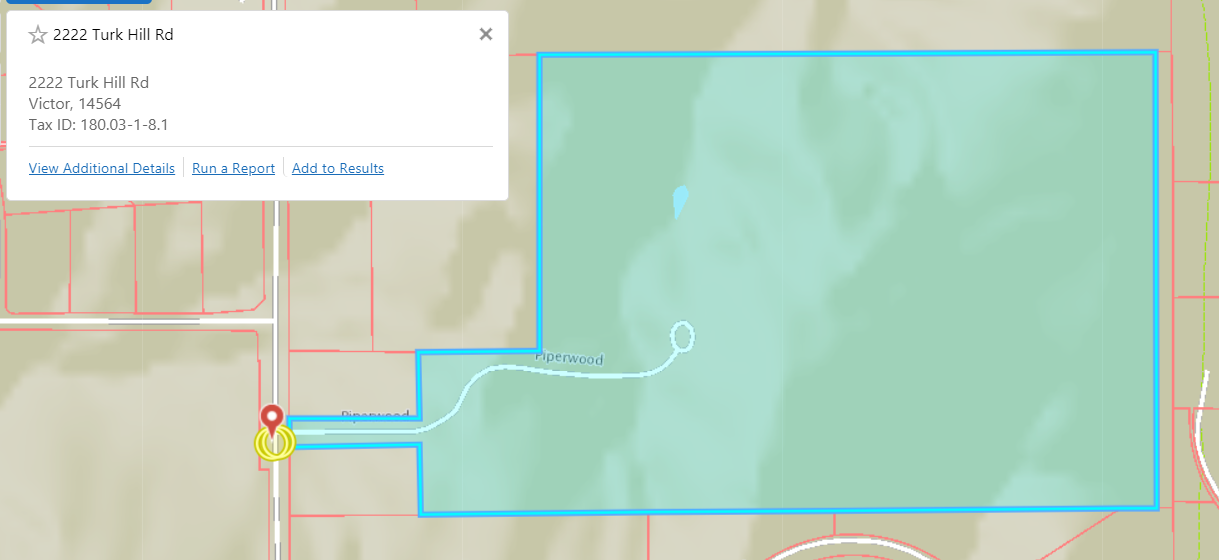
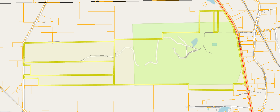
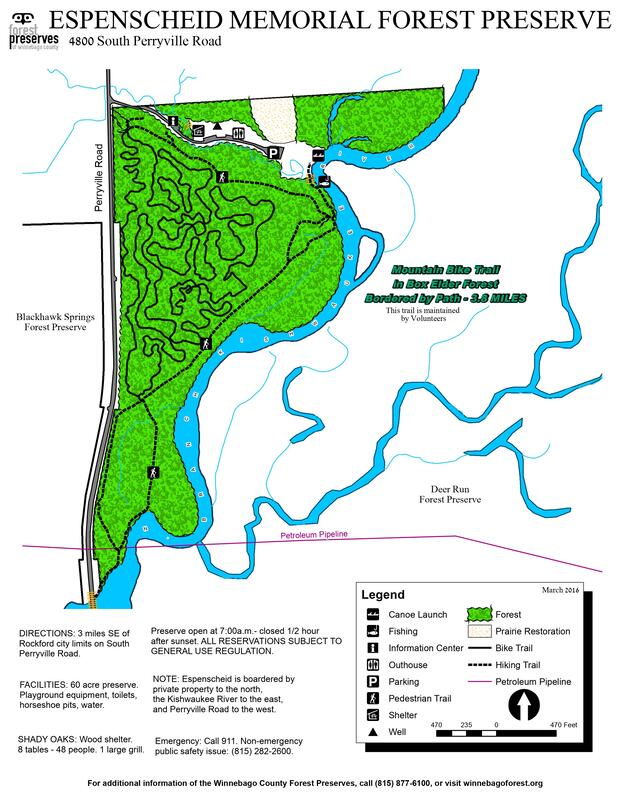
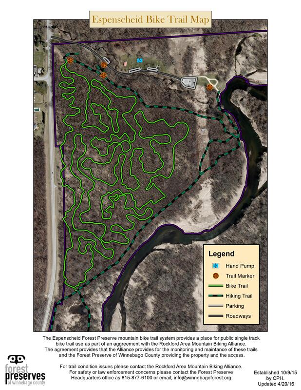
Thus first and foremost this one will be producing up to date maps for all 5 GSWNY Properties from Surveyed Parcel Boundaries, adding contour elevation and accurate trail data for our girls and our land users.
Thus first and foremost this one will be producing up to date maps for all 5 GSWNY Properties from Surveyed Parcel Boundaries, adding contour elevation and accurate trail data for our girls and our land users.
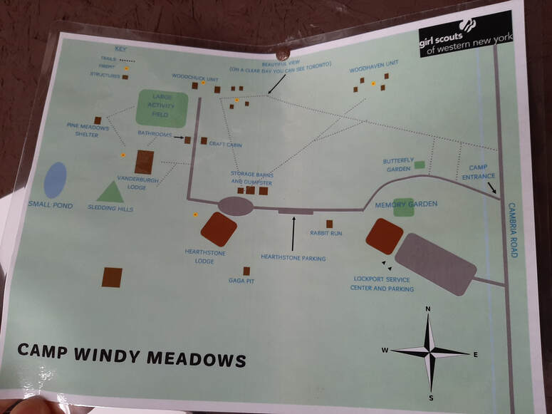
Current Map of Windy Meadow |
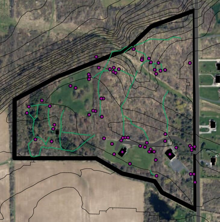
Work In Progress Map of Windy Meadow |
And this is only the beginning...
ESRI ArcGIS in combination with Trimble GPS will allows us to collect GNSS accurate waypoints land analysis to create interactive map layouts of various datasets of interest to share with various stakeholders, administration, board members, and scientists.
Current applications would include:
Some of this mapping data could be used as graphic support for DEC grants in the future hoping to outsource into urban forestry development grants for some of our future property projects funding.
Current applications would include:
- Tree and Resource Monitoring - Long term Forest Mgnt, Tracking New Tree Planting, Hazardous Risk Trees, etc
- Invasive Restoration Status - Mapping which areas completed which year/how much area was cleared for grant development
- Water Line Mapping - Shut Off Valve Mapping - Well Mapping
- Infrastructure Maintenance Tracking -
- Facility Maintenance Tracking -
- New To Scale Property Maps - Entire Camp, Trails, Land Use, Tree Cover, etc..
- Natural Resource Maps - Edible Wild Food Harvest Sites, Mushrooms, Berries, Wild Apples, etc...
Some of this mapping data could be used as graphic support for DEC grants in the future hoping to outsource into urban forestry development grants for some of our future property projects funding.
Teaching tomorrow's professionals today.
As part of the 3rd year GIS implementation process, this one is looking to put together a Program/STEM track for some future GSs who might want to grow up to be a land steward and scientist, giving them access and lessons as to how to collect field data, turning them or any other volunteer into citizen scientists. By providing them access to ESRI's Collector App, we can use girl scouts/volunteers to update/ keep track of data live time. Also by embedding/linking ArcViewer into our GSWNY website, and making our maps public, anyone can have access to these interactive maps.
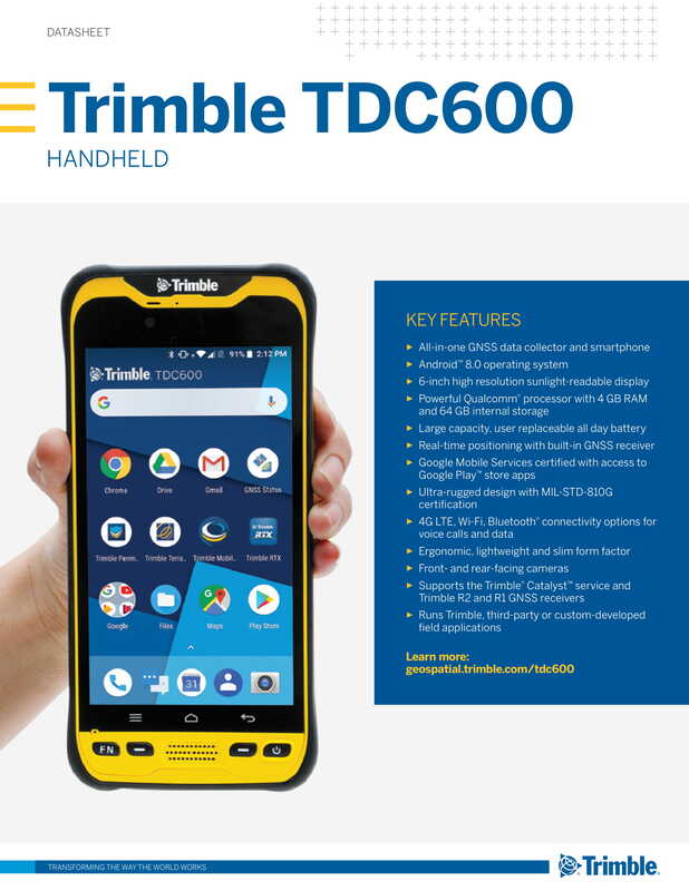
Hardware - Trimble TDC600
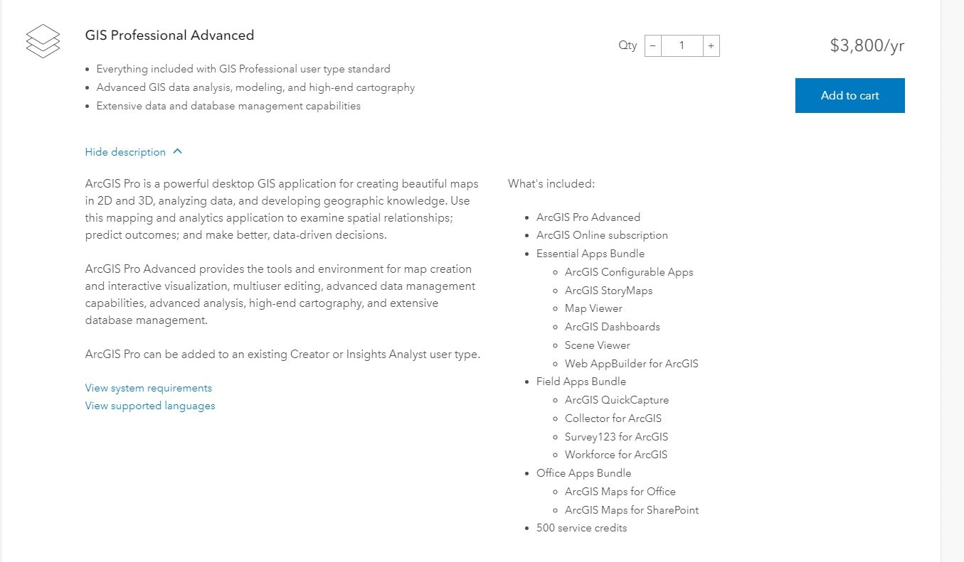
Software - ESRI's ArcGISPro Desktop
Esri Nonprofit Organization Program (NPOP) is designed to provide qualified nonprofit organizations with an affordable way to acquire Esri solutions. All applicants undergo a review process upon submission of the NPOP application that considers formal tax-exempt status and the mission of the organization. - https://www.esri.com/en-us/solutions/industries/sustainability/nonprofit-program/eligibility
GSWNY was approved on 4/9/20 for ESRI's ArcGISPro Advanced License
System RequirementsOperating system: Windows 8.1 -10
CPU : Recommends a 10 core processor, but reports functionality with 4 Platform: x64 w/SSE2 Extensions Memory/RAM: 16GB or More, but reports functionality with 8GB Display Properties: 24Bit Color Screen Resolution: 1024 x 768 or higher at normal size Visualization Cache: The temporary visualization cache for ArcGIS Pro can consume up to 32 GB of space, if available, in the user-selected location. By default, the visualization cache is written to the user profile.** |
Video Graphics Adapter
DirectX 11, feature level 11.0, Shader Model 5.0
OpenGL* 4.5 with the ARB_shader_draw_parameters, EXT_swap_control,
EXT_texture_compression_s3tc, and EXT_texture_filter_anisotropic extensions
.NET Framework needs to be installed to use ArcGISPro Desktop
Dedicated (not shared) graphics memory** 4 GB or more
OpenGL* 4.5 with the ARB_shader_draw_parameters, EXT_swap_control,
EXT_texture_compression_s3tc, and EXT_texture_filter_anisotropic extensions
.NET Framework needs to be installed to use ArcGISPro Desktop
Dedicated (not shared) graphics memory** 4 GB or more
Storage Recommendation
Storage: Optimal: 64 GB or more of free space on a solid-state drive
CPH @ GSWNY Data Storage Stats
Just for comparison... CPH at WCFPD Stats
Extra things to ask IT about...
1. Budget Questions: Which line is for the IT/GIS Data Purchase? Was told the capital budget money for this was added to an IT line somewhere. **Need employee reimbursement for a solo license during the inbetween of ESRI NPO Program as well. How to code?
2. Personal Computer Hosting GSWNY Data: This one is currently hosting all of this GSWNY data on my Personal Computer and Personal TB. If not a desktop, is there a way to host on a GSWNY owned desktop to take this load off my personal or at least host on my slice... which brings me to...
3. Remote Access: How does this one remotely access their Slice from home?
4. Slice holding Large Data: This program is about to create a bunch of data going forward. With the stats shown above, is a slice still the answer for me as this position/database develops. This one is developing three databases this year (Photo, GIS, Property Files) That's going to be a metric F-ton of data in the form of maps, photos, and videos...
5. TB? As this project develops, we will be in need of a way to jump large amounts of data between stakeholders such as Pashek for GSWNY's Property Master Plan and Trail Development Grant. Keely has asked for a Jump Drive of sorts to send to them... was thinking this would have to be a TB just to assure all their data will be able to fit as we send things back and forth.
6. Desktop @ Home Given that most of this GIS data can be processed at home, what do my chances look like acquiring a desktop to take home during the initial year or two of development? or where would this data processing desktop be located?
7. Help Desk Ticket Walkthrough - Requesting a quick walk-through on how to/where to submit a help desk ticket, as we have not had the need to do so yet
8. Scanner Access - Upon my return to 7Hills this one, in combination with Jeanne from finance, would greatly appreciate it if LJ's slice could have 7Hills scanner access.
9. Zoom License Update - Asking for an update on the GSWNY Zoom license... if there was an update about it, we missed it...

